State Maps Home > State Map Collection > Bethlehem Map
Street Map of Bethlehem
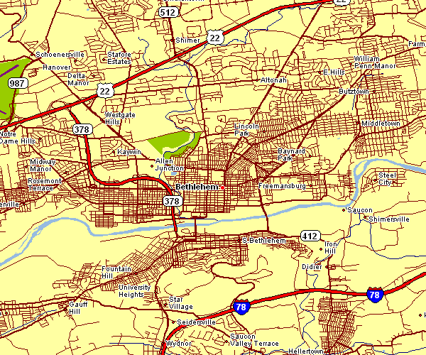
This map is a plain map that displays the geography of this area with a simple diversity of elements.
You may download the map and use it for many purposes. Providing a link to here is our request.
On the assumption that you wish for support locating a map, a specific map, or wish for a good custom-built map, do not hesitate to contact YellowMaps.
Acquire good individualized maps from us. Custom maps made by YellowMaps consist of a large assortment of elements, like: alleys, legend, UTM coordinates, bays, indian reserves, oceans, glaciers, or rapids, etc. Types of maps run from highway to contour, printable to printed, regional to metropolitan statistical areas.
Good maps are exact, all-inclusive, and not obsolete. Finest map production by YellowMaps.
To procure hardcopy maps, like wall maps, tourist maps, or maps for canoeing, do not hesitate to visit our online map shop We hold more than 100,000 map items.
Looking for historical maps, or large-format map prints? Ask us.
Back to State map collection