State Maps Home > State Map Collection > Erie Map
Street Map of Erie
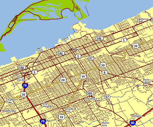
On top you have a classic graph revealing the geography of this region with a classic variety of elements.
You can store the map image and work with it for many purposes. Giving credit to this source would be considerate and well thought of.
In the event you wish for assistance finding a map, a particular map, or wish for a great custom map, you can email us.
Purchase proper customized maps from us. Custom maps made by YellowMaps cover a refreshing collection of features, for example: alleys, map projection, coordinates, cities, mountains, springs, geographical areas, or river features, etc. Map types range from urban to satellite, large-print to small-print, census tracts to school districts.
Great maps are accurate, well-defined, and not deceptive. Skillful map production by YellowMaps.
To order printed maps or charts, like road atlases, country maps, or topo maps, just go to our online map store We carry over 100,000 map items.
Cartography is so much fun. Just sit back in your chair and travel states, provinces, and countries, and never even move a leg. Who doesn't like that?
Back to State map collection