State Maps Home > State Map Collection > Harrisburg Map
Street Map of Harrisburg
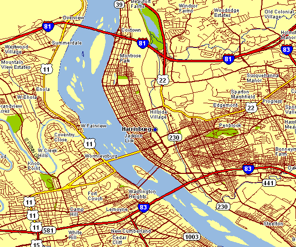
This map is a simple representation outlining the layout of this area of interest with a classic array of features.
You are granted permission to share this image and use it in your projects. Giving credit to this source would be considerate and well thought of.
If you require help acquiring a map, a specific map, or require a good custom-built creation, please email us.
Purchase proper tailor-made maps from us. Custom maps made by YellowMaps contain a full variety of map elements, for instance: roadways, altitude info, GPS coordinates, capes, indian reserves, valleys, glaciers, or rivers, etc. Map types go from historical to satellite, travel to research, global to metropolitan statistical areas.
Good maps are meticulous, well-defined, and not deceptive. Finest map-making by YellowMaps.
To procure hardcopy maps, for instance recreation atlases, tourist maps, or maps for exploring, simply browse our online map shop We have a collection of tens of thousands map products.
Maps are just so interesting.
Back to State map collection