State Maps Home > State Map Collection > Southwestern West Virginia Map
Printable Map of Southwestern West Virginia
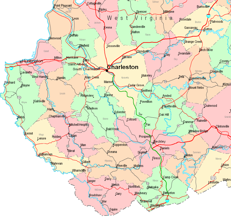
The above is a classic chart demonstrating the geography of this environs with a classic mixture of features.
You may print the map image and make use of it in your work. Providing a link to here would be considerate and well thought of.
In case you are hoping for support retrieving a map, a particular map, or are hoping for a good customized cartographic design, you can email YellowMaps.
Buy good individualized maps from us. Our custom-made maps consist of a large combination of elements, for example: roadways, map projection, coordinate grid, air navigation features, indian reserves, oceans, district municipalities, or rapids, etc. Map types reach from political to wall, travel to research, regional to voting districts.
Good maps are explicit, well-defined, and not unclear. Skillful map design by YellowMaps.
To purchase hardcopy maps, for instance backroad mapbooks, country maps, or topo maps, simply explore our map store We have a collection of more than 100,000 products.
Fun fact about maps: the word 'map' comes from the Latin 'mappa mundi', meaning 'world on cloth'.
Back to State map collection