State Maps Home > State Map Collection > Denver Map
Street Map of Denver
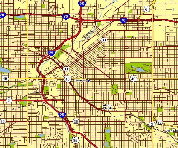
The image above is a plain plot setting out the political boundaries of this area with a classic diversity of map components.
You can print this map and use it in your research. Citing this page would be awesome.
In the event you desire support obtaining a map, a different kind of map, or desire a first-rate custom-made production, please email us.
Acquire suitable personalized maps from us. Our custom maps contain a wonderful selection of map components, for instance: roads, scale bar, GPS coordinates, district municipalities, mountains, seas, hamlets, or provinces, etc. Map types range from scientific to raised-relief, travel to research, national to school districts.
First-Rate maps are exact, up to date, and not misleading. Fine map production by YellowMaps.
To procure printed maps or charts, such as navigational charts, educational maps, or topo maps, just marvel at the cartographic delights in our map shop We have a collection of thousands and thousands map items.
Maps are beautiful.
Back to State map collection