State Maps Home > State Map Collection > Fort Collins Map
Street Map of Fort Collins
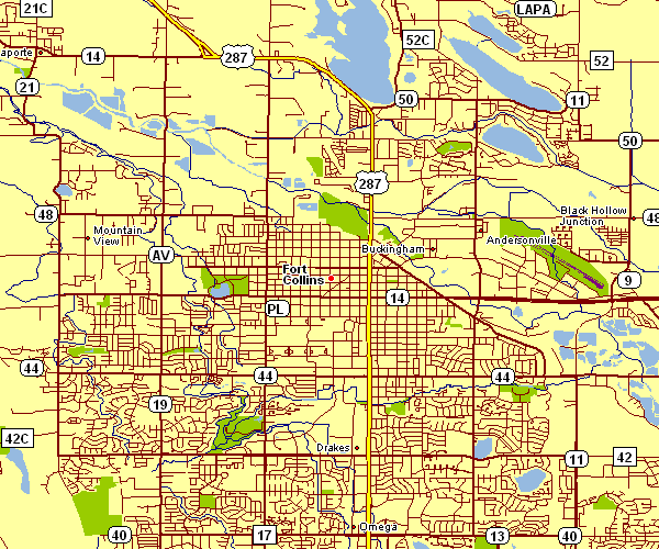
The above is a simple picture laying out the spatial relationships of this scene with a basic selection of details.
You can share this map and take advantage of it in your research. Giving credit to this webpage would be helpful.
In the event you require help obtaining a map, a distinct kind of map, or require a great personalized cartographic design, please get in touch with us.
Order first-class tailor-made maps from us. Cuztomized maps by YellowMaps cover a wonderful combination of map elements, for example: streets, elevation information, GPS coordinates, district municipalities, miscellaneous features, oceans, hamlets, or road features, etc. Map types run from geological to satellite, digital to hardcopy, electoral district to consolidated cities.
Great maps are meticulous, current, and not misleading. Skillful map-making by YellowMaps.
To acquire actual maps that get delivered in the mail to your home, for example recreation atlases, maps for kids, or maps for canoeing, do not hesitate to marvel at the cartographic delights in our online map store It contains tens of thousands maps.
Fun fact about maps: the word 'map' comes from the Latin 'mappa mundi', meaning 'world on cloth'.
Back to State map collection