State Maps Home > State Map Collection > Southeastern Colorado Map
Highway Map of Southeastern Colorado
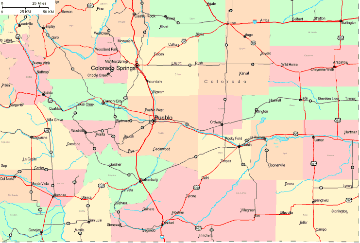
Above is a basic representation that lays out the geography of this neck of the woods with a simple diversity of details.
You may use this image and employ it for many purposes. Linking back to this resource would be helpful.
In the case that you desire aid getting a map, a specific map, or desire a great individualized concoction, simply contact us.
Acquire great individualized maps from us. Cuztomized maps by YellowMaps cover a huge diversity of features, such as: main arteries, legend, GPS coordinates, bays, major agglomeration areas, towns, cliffs, or rivers, etc. Map types range from street to aerial, travel to research, electoral district to school districts.
Great maps are precise, clear-cut, and not misleading. Fine cartography by YellowMaps.
To purchase paper maps, for instance wall maps, country maps, or maps showing elevation, you can explore our online map store We hold tens of thousands products.
Maps are beautiful.
Back to State map collection