State Maps Home > State Map Collection > Pueblo Map
Road Map of Pueblo
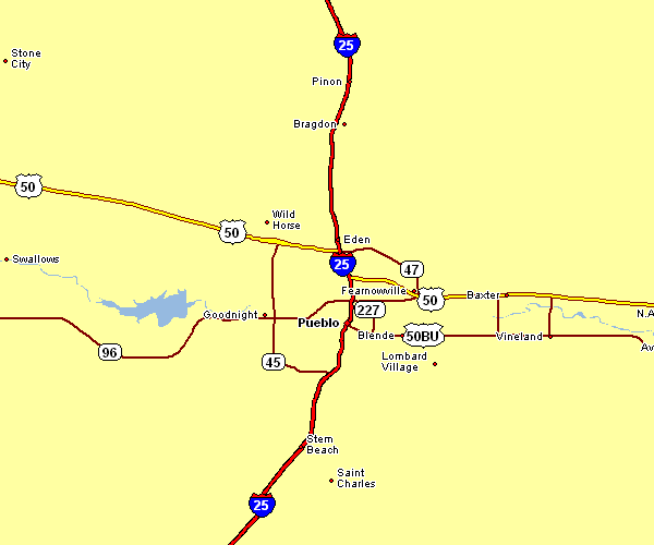
Above is a plain graphic offering the spatial relationships of this area with a plain variety of map elements.
You can print the map file and take advantage of it for a variety of purposes. Linking back to this resource is always appreciated. Thank you kindly.
If you wish for help getting a map, a distinct kind of map, or wish for a good customized concoction, I suggest you inquire for details.
Order nice custom-built maps from us. Cuztomized maps by YellowMaps have a useful array of map components, for instance: expressways, legend, UTM coordinates, caves, conservation areas, undersea features, district municipalities, or provinces, etc. Map types range from general reference to aerial, large-print to small-print, counties to estates.
Good maps are meticulous, current, and not old. Finest map-making by YellowMaps.
To purchase printed maps or charts, like wall maps, tourist maps, or hiking maps, please visit our online map shop There, you will discover more than 100,000 map products.
Perhaps you can find the map you are looking for already made: just use the above search bar to search our map store.
Back to State map collection