State Maps Home > State Map Collection > Map of Jacksonville
Road Map of Jacksonville
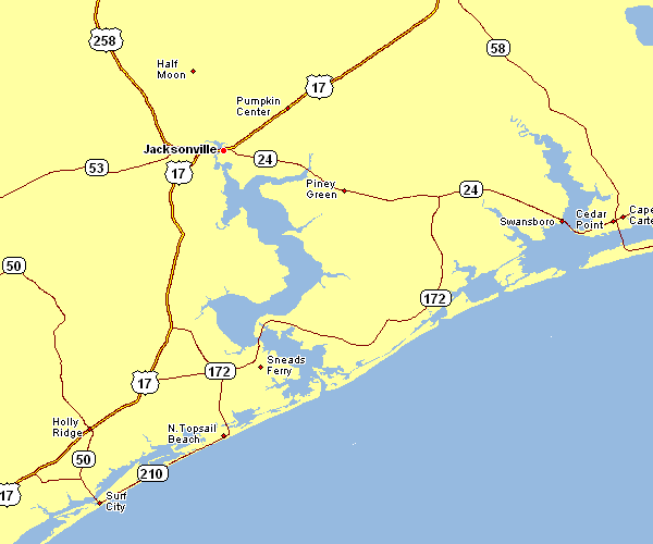
This map is a basic representation setting out the spatial layout of this region with a simple diversity of map components.
You can print the map and take advantage of it for many purposes. Citing this page would be awesome.
Supposing you are hoping for help acquiring a map, a different kind of map, or are hoping for a first-rate custom-made map, just inquire for details.
Procure superior custom-made maps from us. Our custom maps cover a sizable assortment of map components, e.g.: avenues, map projection, coordinates, campsites, major municipal/district areas, territories, hamlets, or plains, etc. Types of maps run from geological to locator, travel to research, state or province to public use microdata areas.
First-Rate maps are clear, complete, and not obsolete. Expert map-making by YellowMaps.
To purchase actual maps that get delivered in the mail to your home, such as recreation atlases, tourist maps, or maps for exploring, please marvel at the cartographic delights in our online map shop We carry thousands and thousands maps.
Looking for historical maps, or large-format map prints? Ask us.
Back to State map collection