State Maps Home > State Map Collection > Map of Eastern North Carolina
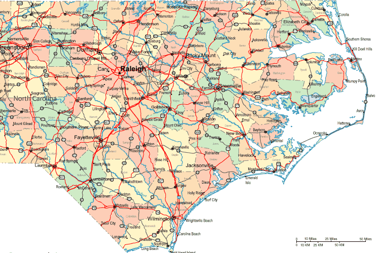
Highway Map of Eastern North Carolina

The above map image is a simple representation exposing the locations of this area with a plain medley of features.
You can use this web page and work with it for a variety of purposes. Citing this page would be considerate and well thought of.
In case you need support getting a map, a distinct kind of map, or need a tip-top personalized product, please do not hesitate to email YellowMaps.
Order high quality made to your specs maps from us. Our custom-made maps have a refreshing medley of details, in detail: highways, elevation information, UTM coordinates, caves, major municipal/district areas, towns, hydraulic construction, or road features, etc. Map types vary from street to blank, folded to rolled, census blocks to places.
Tip-Top maps are correct, up to date, and not deceptive. First-Rate map design by YellowMaps.
To procure actual maps that get delivered in the mail to your home, for instance navigational charts, tourist maps, or hiking maps, do not hesitate to marvel at the cartographic delights in our online map store You can find more than 100,000 map products.
Fun fact about maps: the word 'map' comes from the Latin 'mappa mundi', meaning 'world on cloth'.
Back to State map collection