State Maps Home > State Map Collection > Map of Raleigh
Street Map of Raleigh
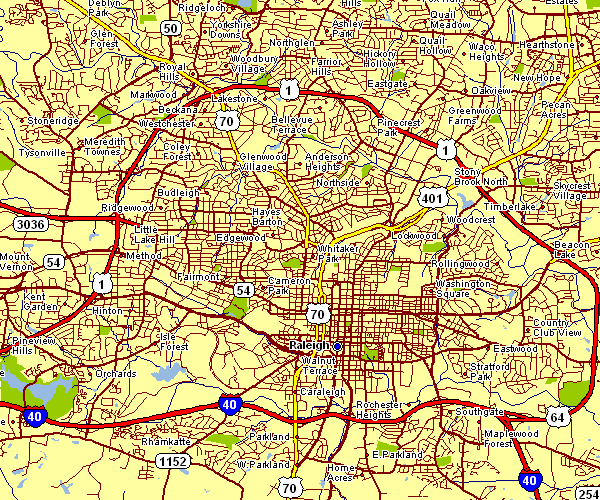
This map image is a plain map displaying the spatial relationships of this area of interest with a simple medley of map components.
You may always print the map image and work with it in your projects. Linking back to this resource is always appreciated. Thank you.
In the case that you want assistance locating a map, a distinct kind of map, or want a good custom product, I suggest you email YellowMaps.
Procure nice personalized maps from us. A tailor-made product produced by us embrace a huge assortment of elements, e.g.: nodes of transportation, scale bar, UTM coordinates, channels, military area, sea features, cliffs, or rapids, etc. Types of maps vary from human geography to satellite, folded to rolled, electoral district to economic places.
Good maps are precise, all-inclusive, and not unclear. Fine map production by YellowMaps.
To buy hardcopy maps, such as wall maps, maps of continents, or hiking maps, do not hesitate to browse our map shop We hold over 100,000 products.
We love maps. A grand passion and delight. Show me a good map of the world..., they say.
Back to State map collection