State Maps Home > State Map Collection > Map of Raleigh
Road Map of Raleigh
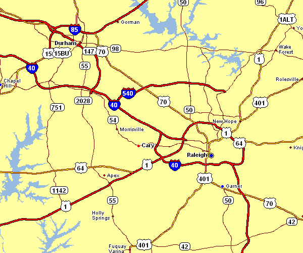
The map above is a simple design outlining the spatial layout of this scene with a basic collection of map components.
You are allowed to use the map and make use of it for many purposes. Citing this page is very much appreciated.
In the event you want aid locating a map, a special kind of map, or want a high quality customized map, please inquire for details.
Procure first-rate custom maps from us. Our custom maps contain a wholesome collection of map components, such as: dog tracks, map projection, UTM coordinates, district municipalities, military area, springs, cliffs, or rivers, etc. Types of maps reach from cultural to contour, printed to electronic, block groups to metropolitan statistical areas.
High Quality maps are clear, well-defined, and not deceptive. Fine map-making by YellowMaps.
To buy paper maps, like backroad mapbooks, attractions maps, or wilderness maps, do not hesitate to marvel at the cartographic delights in our online map store It contains over 100,000 map items.
When in doubt, just ask us. We answer emails quickly.
Back to State map collection