State Maps Home > State Map Collection > Iowa Large Map
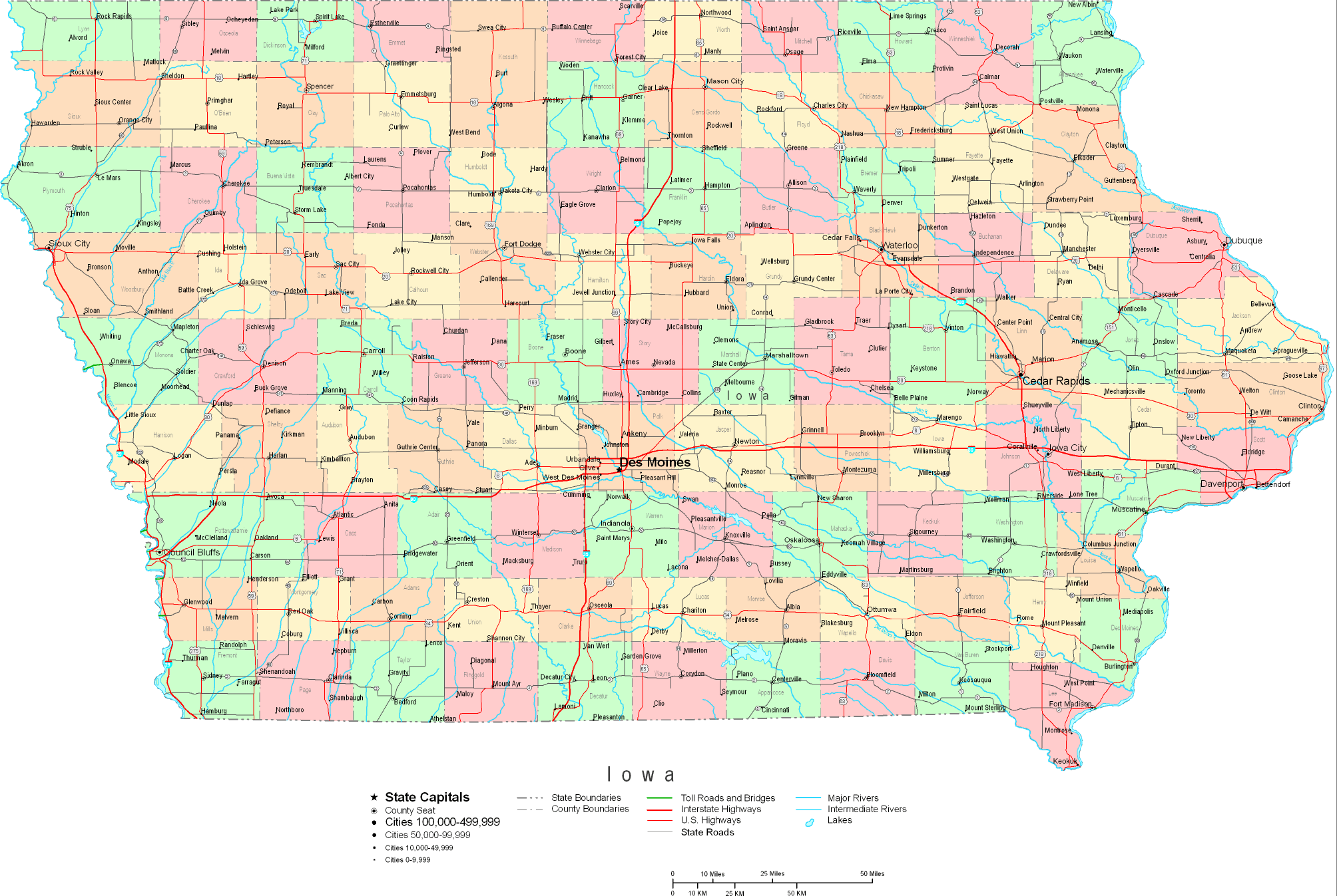
Printable Map of Iowa Large

This image is a simple plot that displays the geography of this territory with a simple diversity of details.
You may share this web page and employ it for many purposes. Giving credit to this webpage would be helpful.
If you wish for aid acquiring a map, a different kind of map, or wish for a suitable tailor-made cartographic design, please contact YellowMaps.
Order superior specially made maps from us. Our custom-made maps cover a large array of map elements, for example: nodes of transportation, scale bar, coordinates, caves, mountains, towns, geographical areas, or natural resources sites, etc. Types of maps run from trail to raised-relief, printed to electronic, national to school districts.
Suitable maps are succinct, all-inclusive, and not out-of-date. First-Rate cartography by YellowMaps.
To order paper maps, such as navigational charts, tourist maps, or maps for kayaking, please visit our online map store We have a collection of over 100,000 map products.
Looking for historical maps, or large-format map prints? Ask us.
Back to State map collection