State Maps Home > State Map Collection > Map of North Carolina
Printable Map of North Carolina
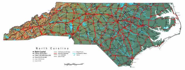
On top we have a simple plot outlining the geography of this scene with a classic diversity of details.
You are allowed to share the map and use it for a variety of purposes. Providing a link to here would be our request.
If you need assistance getting a map, a specific map, or need a great custom-made product, please inquire for details.
Purchase first-rate personalized maps from us. Our custom maps consist of a wide medley of elements, e.g.: highways, map projection, coordinates, campsites, military area, low vegetation, falls, or provinces, etc. Types of custom maps range from street to terrain, static to dynamic, regional to state legislative districts.
Great maps are clear, all-encompassing, and not obsolete. Fine map design by YellowMaps.
To acquire printed maps or charts, like navigational charts, folded maps, or topographic maps, you can explore our map store We carry more than 100,000 products.
Have trouble printing or downloading this map? Just contact us.
Back to State map collection