State Maps Home > State Map Collection > Tennessee Large Map
Printable Map of Tennessee Large
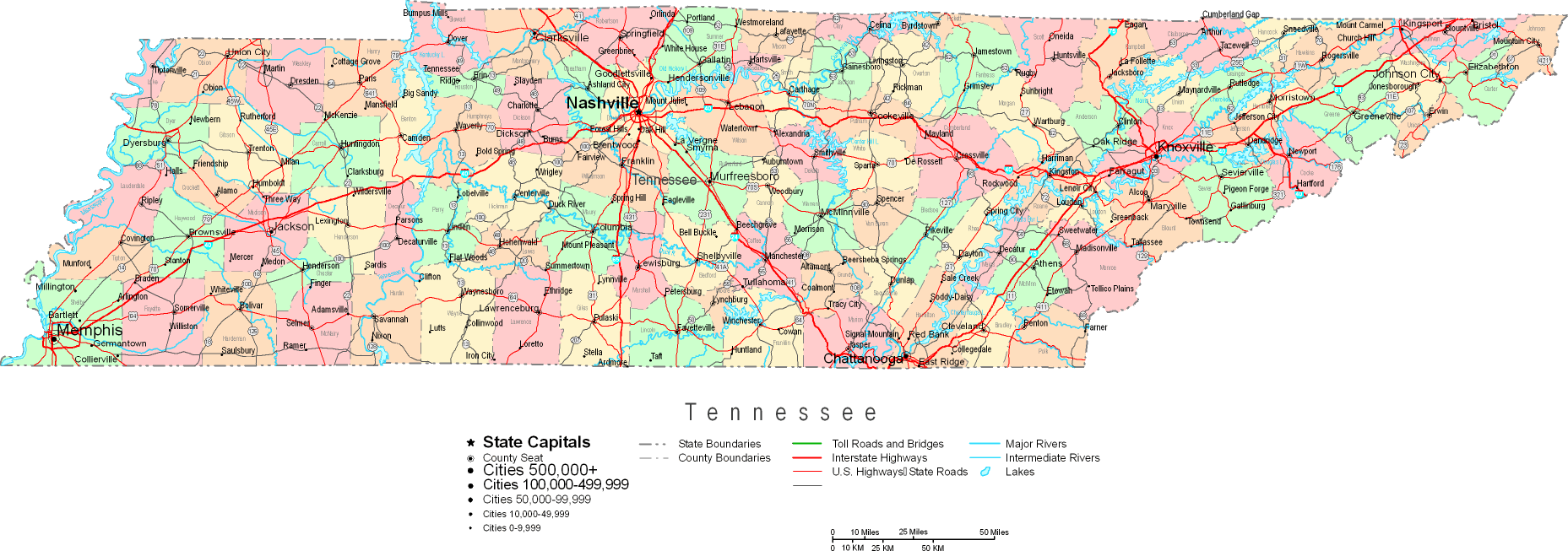
Above is a classic picture sporting the geography of this neck of the woods with a simple combination of details.
You are granted permission to print this web page and use it in your work. Linking back to this resource would be considerate and well thought of.
Supposing you need support acquiring a map, a special kind of map, or need a high quality personalized cartographic design, please do not hesitate to contact us.
Buy good custom-made maps from us. A tailor-made product produced by us cover a full assortment of map elements, for example: streets, altitude info, coordinates, air navigation features, major municipal/district areas, territories, hamlets, or provinces, etc. Map types run from cultural to relief, travel to research, world to ZIP code tabulation areas.
High Quality maps are accurate, up to date, and not misleading. Skillful cartography by YellowMaps.
To order paper maps, for instance navigational charts, country maps, or topo maps, quickly visit our map shop It has thousands and thousands map products.
Please ask us about volume discounts. We might be able to give you a deal.
Back to State map collection