State Maps Home > State Map Collection > Wisconsin Large Map
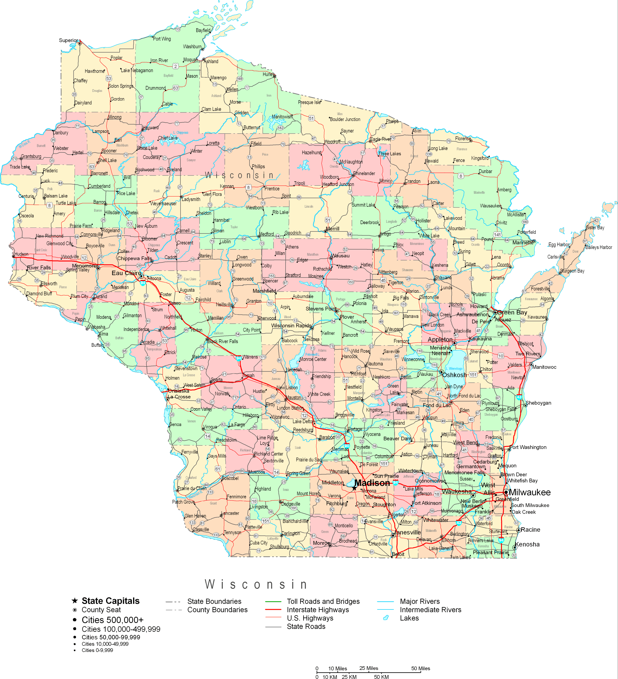
Printable Map of Wisconsin Large

This map is a classic graphic demonstrating the geography of this region with a basic medley of map elements.
Of course, you may view this file and utilize it for a variety of purposes. Providing a link to here is considerate and well thought of.
In case you need help finding a map, a distinct kind of map, or need a first-class custom-built concoction, please email us.
Buy great custom-built maps from us. A custom map made by us contain a wholesome combination of elements, for example: boulevards, map projection, UTM coordinates, cities, major municipal/district areas, villages, falls, or railway features, etc. Types of maps vary from geological to satellite, static to dynamic, counties to places.
First-Class maps are thorough, well-defined, and not deceptive. Fine map design by YellowMaps.
To procure printed maps or charts, such as wall maps, maps of continents, or topo maps, please do not hesitate to dive into our online map store We carry more than 100,000 products.
Maps are just so interesting.
Back to State map collection