State Maps Home > State Map Collection > Central Pennsylvania Map
Highway Map of Central Pennsylvania
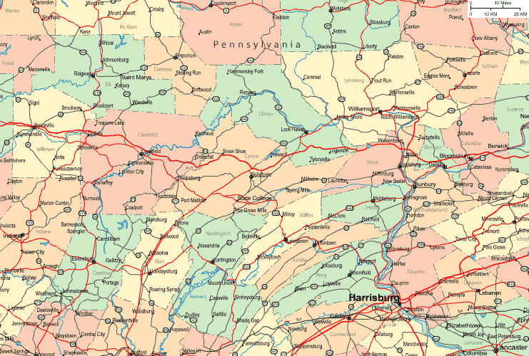
The map above is a simple diagram sporting the spatial layout of this scene with a classic collection of features.
You are granted permission to view the map file and use it in your projects. Linking back to this resource is very much appreciated.
Supposing you desire assistance retrieving a map, a different kind of map, or desire a good personalized preparation, do not hesitate to email us.
Procure first-rate tailor-made maps from us. A tailor-made product produced by us contain a wholesome group of features, like: backroads, scale bar, GPS coordinates, capes, conservation areas, sea features, forests, or rapids, etc. Map types go from physical to terrain, printed to electronic, counties to voting districts.
Good maps are detailed, all-encompassing, and not old. First-Rate map production by YellowMaps.
To order physical maps, like recreation atlases, folded maps, or topographic maps, just dive into YellowMaps Map Store There, you will discover tens of thousands map products.
Perhaps you can find the map you are looking for already made: just use the above search bar to search our map store.
Back to State map collection