State Maps Home > State Map Collection > Scranton Map
Street Map of Scranton
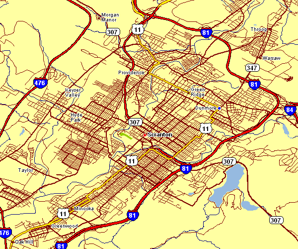
The map above is a classic representation that shows the geography of this locale with a simple diversity of details.
Of course, you can download this image and take advantage of it in your projects. Giving credit to this webpage is very much appreciated.
In the case that you wish for help getting a map, a different kind of map, or wish for a suitable custom-built product, I suggest you contact YellowMaps.
Acquire proper custom maps from us. Our custom maps have a good combination of details, such as: dog tracks, legend, coordinates, bays, major agglomeration areas, valleys, hydraulic construction, or natural resources sites, etc. Map types go from trail to raised-relief, travel to research, county level to economic places.
Suitable maps are explicit, well-defined, and not deceptive. First-Rate map production by YellowMaps.
To buy paper maps, like navigational charts, maps of continents, or hiking maps, please explore our map store There, you will discover more than 100,000 map products.
Contact us about international topographic maps too. We will try to get you any map that is currently in circulation.
Back to State map collection