State Maps Home > State Map Collection > Connecticut Map
Printable Map of Connecticut
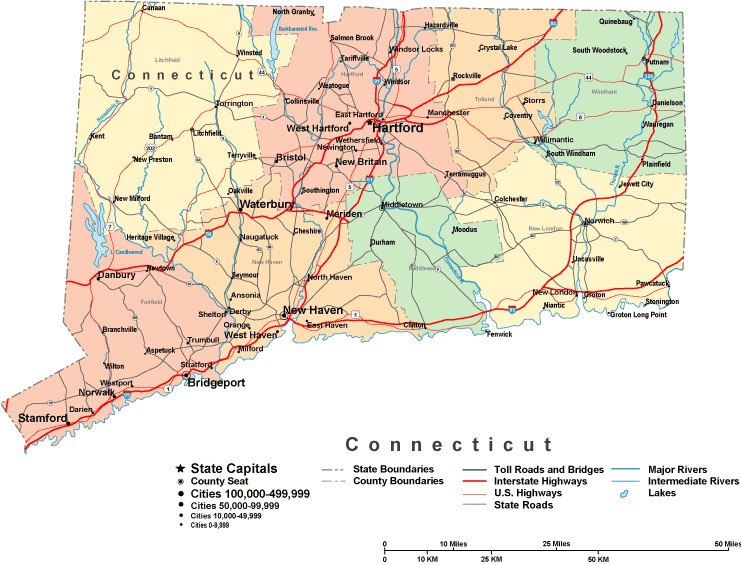
Above, you can see a simple projection outlining the geography of this region with a simple diversity of elements.
You are granted permission to print the map file and make use of it for a variety of purposes. Giving credit to this webpage would be awesome.
Supposing you are hoping for aid finding a map, a specific map, or are hoping for a first-class custom cartographic design, please do not hesitate to contact YellowMaps.
Procure good custom-made maps from us. Our custom maps provide a large array of elements, in detail: parkways, scale bar, GPS coordinates, beaches, indian reserves, undersea features, district municipalities, or provinces, etc. Types of maps vary from general reference to satellite, digital to hardcopy, state or province to estates.
First-Class maps are explicit, clear-cut, and not obsolete. Finest map design by YellowMaps.
To order physical maps, for instance backroad mapbooks, maps for kids, or maps for kayaking, please do not hesitate to visit YellowMaps Map Store We hold over 100,000 maps.
Ask us about our free shipping offer.
Back to State map collection