State Maps Home > State Map Collection > Louisiana Map
Printable Map of Louisiana
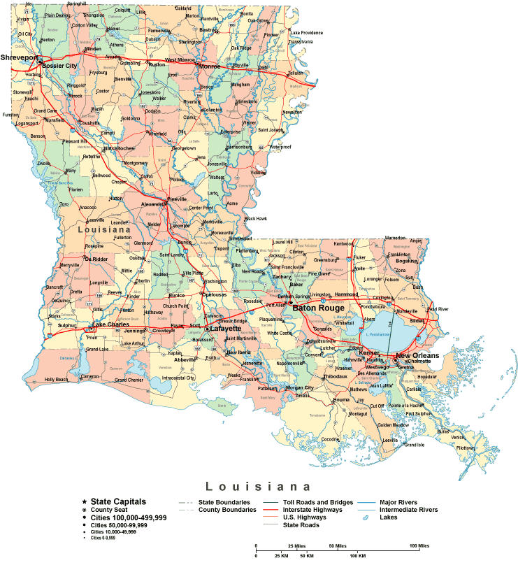
The map above is a classic plot indicating the layout of this territory with a simple medley of map elements.
Of course, you can view the map file and employ it in your projects. Citing this page is always appreciated. Thank you.
In the event you need assistance finding a map, a distinct kind of map, or need a first-rate custom preparation, quickly get in touch with us.
Acquire proper tailor-made maps from us. Custom maps made by YellowMaps embrace a full array of map components, in detail: backroads, altitude info, coordinates, caves, islands, shoals, falls, or river features, etc. Map types run from historical to terrain, printed to electronic, world to urban growth areas.
First-Rate maps are thorough, all-inclusive, and not deceptive. Distinguished map-making by YellowMaps.
To buy hardcopy maps, like backroad mapbooks, attractions maps, or maps for exploring, please explore our map store It contains over 100,000 map products.
When in doubt, just ask us. We answer emails quickly.
Back to State map collection