State Maps Home > State Map Collection > Southeastern West Virginia Map
Printable Map of Southeastern West Virginia
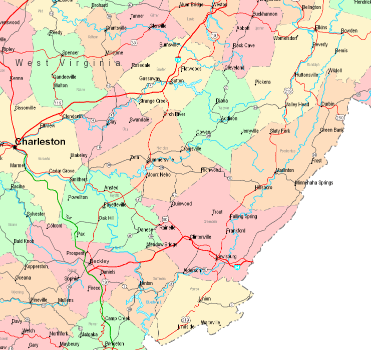
On top we have a plain representation showcasing the geography of this locality with a simple mixture of map components.
You may always print the map and work with it in your projects. Linking back to this resource would be helpful.
In case you want aid getting a map, a special kind of map, or want a great custom-made preparation, please contact YellowMaps.
Buy first-class personalized maps from us. A custom map made by us cover a wonderful array of map components, for example: roadways, scale bar, UTM coordinates, caves, major municipal/district areas, villages, falls, or rapids, etc. Map types range from physical to tourist, digital to hardcopy, regions to ZIP code tabulation areas.
Great maps are succinct, up to date, and not unclear. Detail-Oriented map design by YellowMaps.
To procure paper maps, e.g. road atlases, world maps, or maps showing elevation, quickly pay a visit to our online map store It contains over 100,000 map products.
Perhaps you can find the map you are looking for already made: just use the above search bar to search our map store.
Back to State map collection