State Maps Home > State Map Collection > Wisconsin Central North Map
Printable Map of Wisconsin Central North
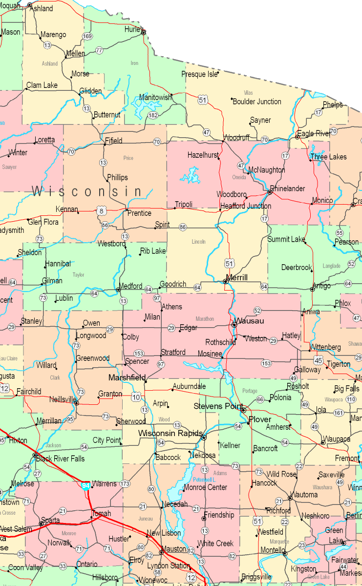
On top you have a simple depiction that lays out the geography of this area of interest with a classic array of elements.
You may download this web page and employ it for a variety of purposes. Citing this page is always appreciated. Thank you.
In the event you call for help retrieving a map, a specific map, or call for a good personalized concoction, simply contact us.
Buy first-rate tailor-made maps from us. Cuztomized maps by YellowMaps cover a full medley of details, for instance: backroads, map projection, coordinate grid, bays, marine navigation features, territories, glaciers, or plains, etc. Map types range from trail to tourist, folded to rolled, block groups to traffic analysis zones.
Good maps are specific, all-encompassing, and not misleading. First-Rate map production by YellowMaps.
To purchase printed maps or charts, for instance backroad mapbooks, state maps, or maps for kayaking, do not hesitate to marvel at the cartographic delights in our map shop We hold over 100,000 maps.
Perhaps you can find the map you are looking for already made: just use the above search bar to search our map store.
Back to State map collection