State Maps Home > State Map Collection > Rhode Island Map
Printable Map of Rhode Island
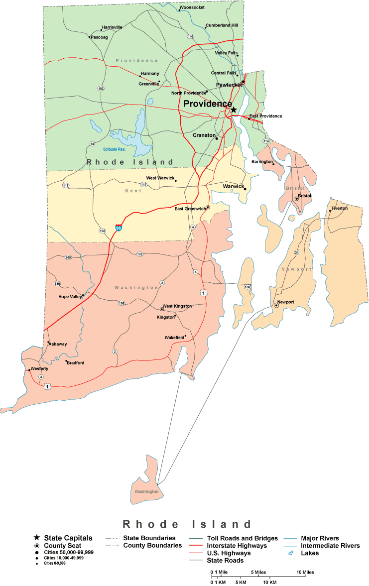
This map is a simple map brandishing the layout of this area of interest with a basic variety of map components.
You have permission to download the map image and use it in your work. Citing this page is considerate and well thought of.
On the assumption that you desire support acquiring a map, a different kind of map, or desire a tip-top custom production, I suggest you email us.
Order great made to your specs maps from us. Cuztomized maps by YellowMaps contain a useful diversity of map components, such as: boulevards, map projection, coordinate grid, capes, miscellaneous features, unincorporated areas, cliffs, or river features, etc. Types of maps vary from scientific to blank, travel to research, states to economic places.
Tip-Top maps are exact, up to date, and not old. Finest map design by YellowMaps.
To buy printed maps or charts, like backroad mapbooks, state maps, or hiking maps, I suggest you dive into our map shop We hold tens of thousands map items.
Have trouble printing or downloading this map? Just contact us.
Back to State map collection