State Maps Home > State Map Collection > Wisconsin South East Map
Printable Map of Wisconsin South East
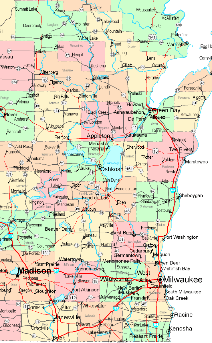
The above is a basic map showcasing the spatial layout of this scene with a basic combination of elements.
You have permission to download this file and take advantage of it in your research. Citing this page would be helpful.
In the event you call for aid acquiring a map, a specific map, or call for a good individualized product, quickly contact our map specialists.
Procure good individualized maps from us. Custom maps made by YellowMaps contain a large medley of map elements, for example: parkways, legend, coordinates, beaches, major municipal/district areas, towns, falls, or road features, etc. Types of maps run from topographic to terrain, folded to rolled, census blocks to congressional districts.
Good maps are meticulous, clear-cut, and not obsolete. Finest cartography by YellowMaps.
To order physical maps, like road atlases, tourist maps, or topographic maps, simply browse our map store It contains over 100,000 products.
Fun fact about maps: the word 'map' comes from the Latin 'mappa mundi', meaning 'world on cloth'.
Back to State map collection