State Maps Home > State Map Collection > Wisconsin South West Map
Printable Map of Wisconsin South West
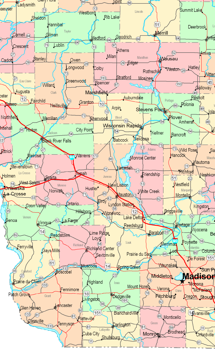
This image is a simple sketch that shows the spatial layout of this neighborhood with a simple mixture of map components.
You can share this web page and make use of it in your work. Citing this page is our request.
In case you wish for aid acquiring a map, a special kind of map, or wish for a good custom-built product, you can contact YellowMaps.
Purchase suitable personalized maps from us. Custom maps made by YellowMaps encompass a huge assortment of elements, such as: main arteries, scale bar, GPS coordinates, beaches, indian reserves, valleys, cliffs, or rapids, etc. Map types go from regional to locator, digital to hardcopy, block groups to traffic analysis zones.
Good maps are precise, up to date, and not deceptive. Fine cartography by YellowMaps.
To procure actual maps that get delivered in the mail to your home, such as recreation atlases, educational maps, or maps for canoeing, please visit our map store It contains tens of thousands maps.
Whatever map you need, just contact us - we usually respond right away, or within a few hours.
Back to State map collection