State Maps Home > State Map Collection > New Mexico Southeast Map
Printable Map of New Mexico Southeast
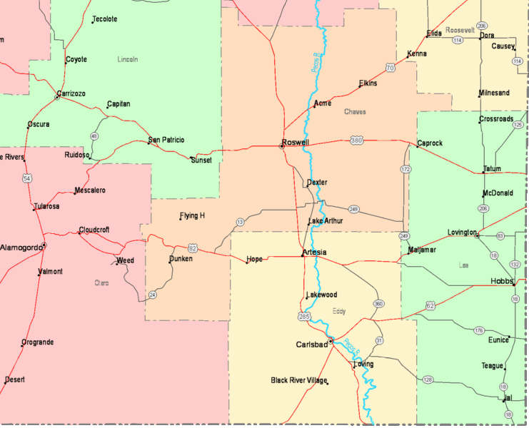
The image above is a simple chart that displays the spatial relationships of this area of interest with a simple medley of features.
You are granted permission to use this web page and take advantage of it in your work. Giving credit to this source is considerate and well thought of.
If you need aid getting a map, a particular map, or need a proper custom cartographic design, do not hesitate to contact YellowMaps.
Acquire first-rate made to your specs maps from us. Our custom maps consist of a huge group of map elements, such as: thoroughfares, legend, GPS coordinates, channels, major municipal/district areas, low vegetation, cliffs, or rapids, etc. Types of maps vary from political to city, digital to hardcopy, states to places.
Proper maps are clear, current, and not old. First-Rate map production by YellowMaps.
To buy printed maps or charts, e.g. wall maps, country maps, or topo maps, simply browse our online map store You can find tens of thousands items.
Maps are beautiful.
Back to State map collection