State Maps Home > State Map Collection > Wichita Map - IMW
International Map of The World: Wichita: IMW-nj-14
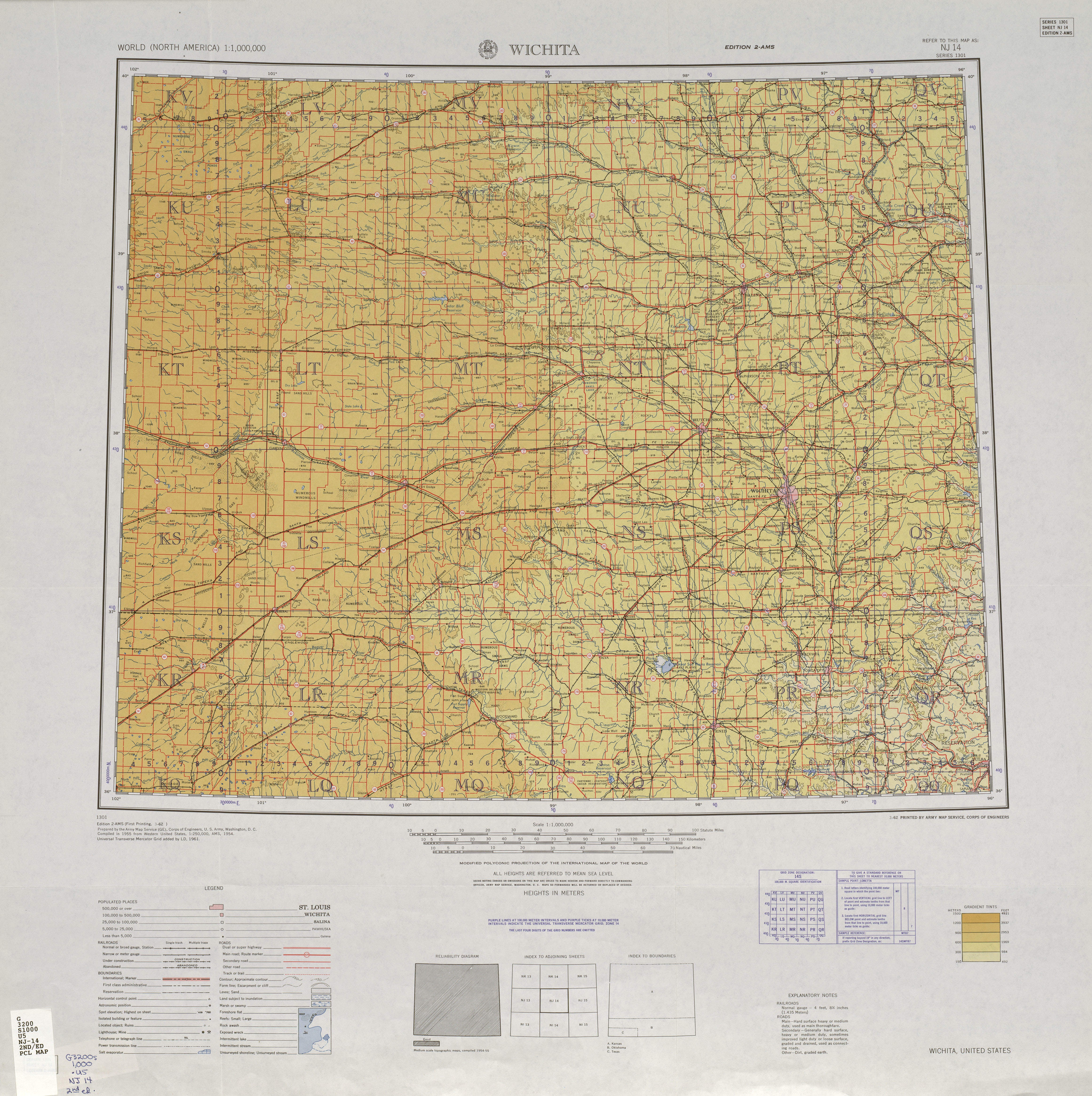
The above is a classic graphic that shows the layout of this region with a basic group of map components.
Of course, you may share the map file and use it in your projects. Providing a link to here is always appreciated. Thank you.
In the case that you are hoping for aid finding a map, a different kind of map, or are hoping for a good custom-built cartographic design, just contact us.
Purchase suitable individualized maps from us. Cuztomized maps by YellowMaps have a wonderful combination of elements, e.g.: streets, scale bar, coordinates, caves, major agglomeration areas, villages, geographical areas, or railway features, etc. Types of maps vary from road to contour, large-print to small-print, counties to ZIP code tabulation areas.
Good maps are thorough, complete, and not misleading. Finest map design by YellowMaps.
To purchase printed maps or charts, such as recreation atlases, maps for kids, or hiking maps, just visit our map shop We hold tens of thousands map items.
When in doubt, just ask us. We answer emails quickly.
Back to State map collection