State Maps Home > State Map Collection > Eastern USA Terrain Detail Map
Printable Map of Eastern USA Terrain Detail
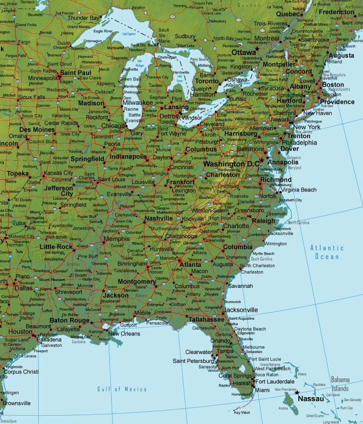
This map is a classic depiction sporting the spatial layout of this region with a simple selection of features.
You can print this file and utilize it for many purposes. Giving credit to this source would be awesome.
On the assumption you want help getting a map, a special kind of map, or want a tip-top personalized map, simply email us.
Purchase nice custom maps from us. Our custom maps contain a large assortment of map elements, for example: alleys, scale bar, UTM coordinates, capes, islands, seas, glaciers, or rapids, etc. Map types go from orienteering to raised-relief, printable to printed, census tracts to places.
Tip-Top maps are explicit, elaborate, and not obsolete. Skillful cartography by YellowMaps.
To buy printed maps or charts, for example navigational charts, country maps, or maps for exploring, please go to YellowMaps Map Store We carry more than 100,000 map products.
A lot of our maps get printed on-demand. They are always available.
Back to State map collection