State Maps Home > State Map Collection > Federal Way Map
Road Map of Federal Way
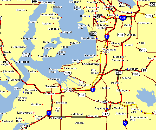
The above map image is a classic design laying out the geography of this neck of the woods with a classic diversity of features.
You may always use the map image and make use of it for many purposes. Citing this page is very much appreciated.
Supposing you need help finding a map, a particular map, or need a suitable customized product, you can email us.
Acquire suitable specially made maps from us. Our custom-made maps provide a refreshing collection of map components, such as: routes, legend, coordinate grid, bays, marine navigation features, springs, forests, or natural resources sites, etc. Types of maps vary from political to wall, travel to research, state or province to places.
Suitable maps are clear, complete, and not unclear. Fine map production by YellowMaps.
To purchase printed maps or charts, for instance recreation atlases, folded maps, or maps for canoeing, please do not hesitate to dive into our map store It has more than 100,000 items.
Whatever map you need, just contact us - we usually respond right away, or within a few hours.
Back to State map collection